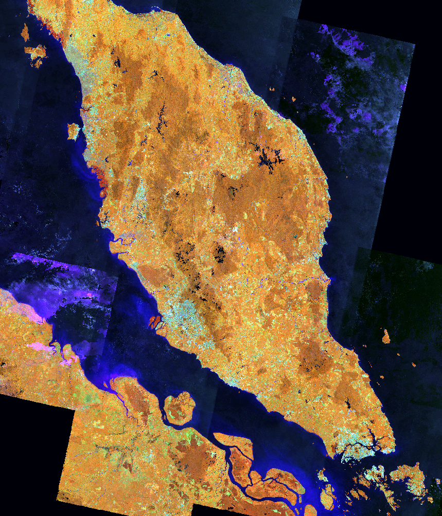
GIS · Remote sensing · Spatial data science
Turning geospatial data into clear, defensible decisions.
I am Noah Berkowitz, a GIS Coordinator and geospatial researcher working across public-sector GIS, remote sensing, machine learning, environmental analysis, and planning.
Current work
Geospatial leadership, research, and public service
GIS Coordinator
Supporting City of Fremont departments with mapping, infrastructure data, planning information, utilities, and public-facing geospatial tools.
Doctoral researcher
Applying remote sensing, crop modeling, land-management data, machine learning, and spatial statistics at the University of Nebraska–Lincoln.
GIS/LIS board member
Serving as a Member-at-Large of the Nebraska GIS/LIS Association Board of Directors and supporting Nebraska’s geospatial community.
Featured portfolio
Research with practical outcomes
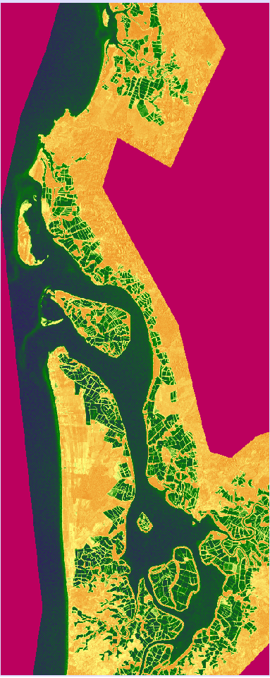
Pond aquaculture classification
Support Vector Machine classification of Sentinel-1 and Landsat imagery using Google Earth Engine and TerrSet.
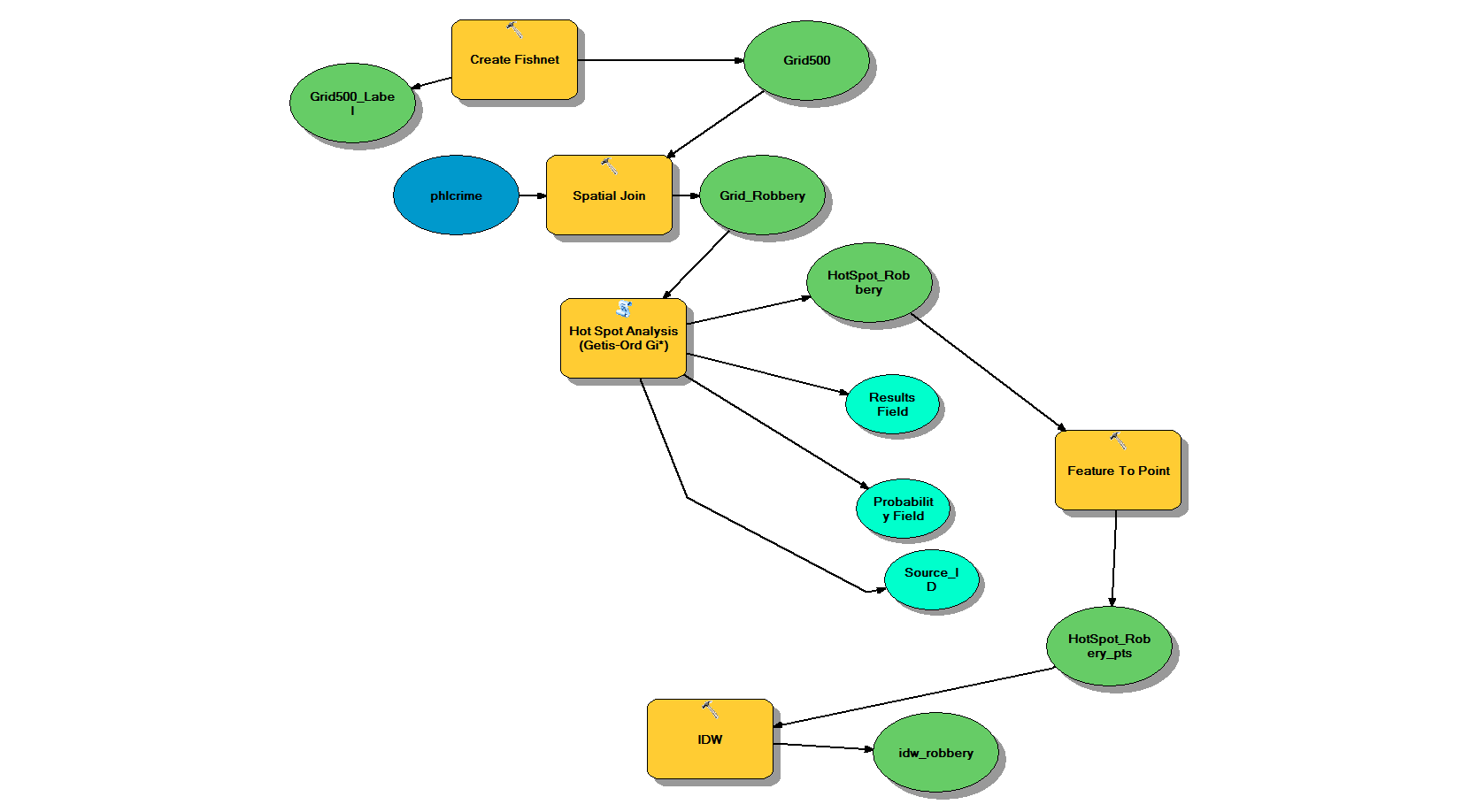
Philadelphia crime analysis
Award-recognized spatial analysis of robbery hot spots using Philadelphia Police Department data.
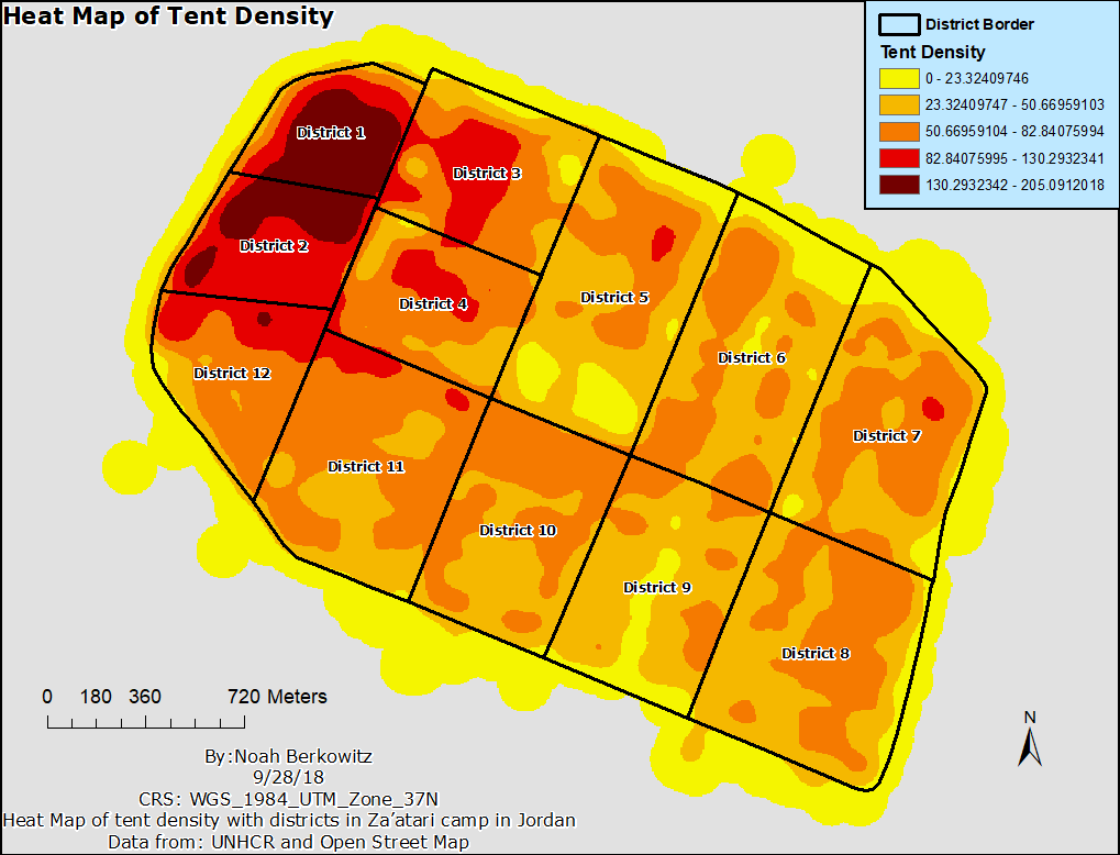
Humanitarian GIS
Spatial analysis and visualization supporting research on refugee settlements and food-distribution access.
Recent recognition
Public-sector GIS in practice
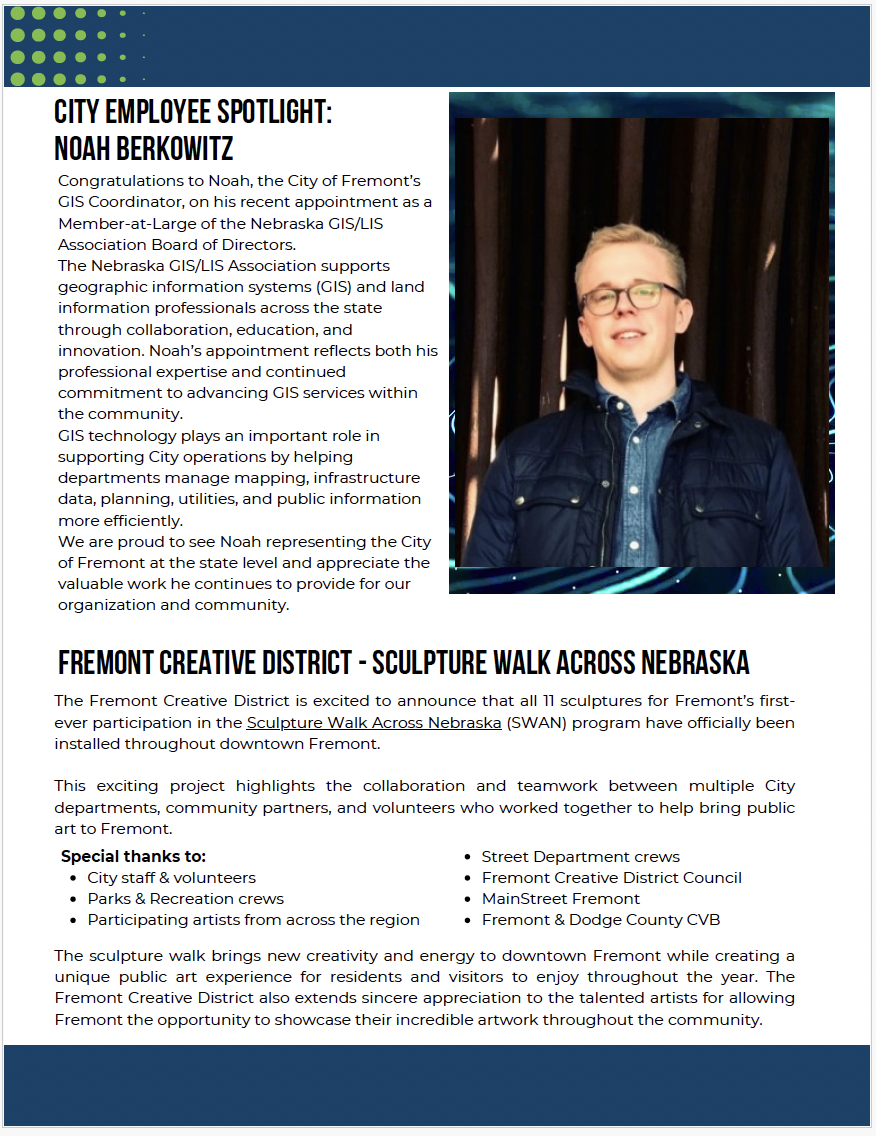
City of Fremont · May 2026
City Employee Spotlight
Recognition of Noah’s GIS/LIS board appointment and his work helping City departments use mapping, infrastructure, planning, utility, and public information.
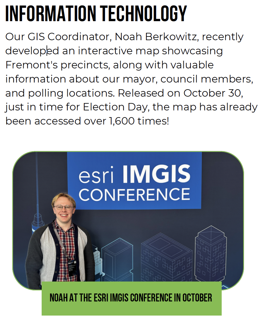
City of Fremont · November 2024
Interactive election information map
A precinct, elected-official, and polling-location map accessed more than 1,600 times after its October 30 release.
Contact
Research collaboration and professional inquiries
For questions about municipal GIS, remote sensing, spatial-data workflows, research collaboration, or the work shown here, connect with Noah on LinkedIn.
 Noah Berkowitz — GIS & Geospatial Data Science